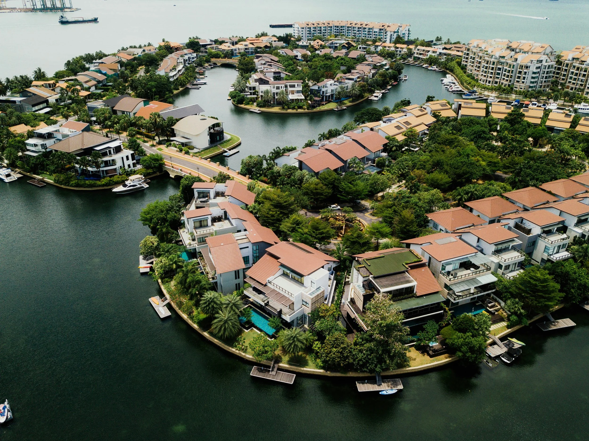
3D MODELING
Our 3D modeling delivers highly accurate, data-rich digital representations of physical assets, infrastructure, and terrain through advanced photogrammetry, GNSS positioning, and RTK (Real-Time Kinematic) correction technology. By utilizing survey-grade geospatial data, these models provide precise spatial measurements, enhanced positional accuracy, and comprehensive site intelligence.
Applications include construction progress monitoring, engineering and design validation, volumetric analysis, digital twin development, infrastructure assessment, and asset lifecycle management. The integration of GNSS and RTK technology minimizes the need for ground control points while ensuring reliable, centimeter-level accuracy, enabling stakeholders to make informed decisions, improve project planning, reduce site visits, and efficiently manage assets

SERVICES
Highly accurate digital representations of real-world sites, structures, and terrain
Detailed spatial measurements (distances, areas, elevations)
Volumetric calculations (cut/fill, stockpiles, excavation volumes)
Photorealistic 3D visualisations of environments and assets
Digital twin creation for ongoing monitoring and management
Construction progress tracking and site documentation
Engineering and design verification support
Improved planning and decision-making through measurable models
Reduced need for frequent site visits through remote analysis
Integration with GNSS and RTK for enhanced survey-grade accuracy (often centimetre-level)